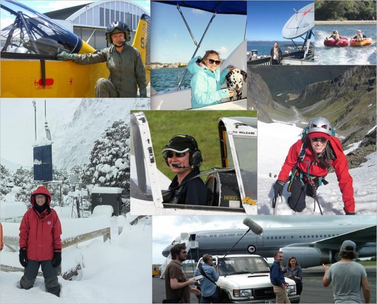
Isolated showers

The Auckland forecast for Monday 12 October 2015 included mention of the following: '... isolated showers ...' and ' ... southwesterly winds ...'. From time to time you’ll hear the word 'isolated' in weather forecasts, so let’s see what it means with reference to observational data, some of which is available on www.metservice.com.  

Himawari Satellite Data

The Japan Meteorological Agency launched a geostationary weather satellite called Himawari-8 in October 2014. “Himawari” means sunflower, and the name has been given to a series of satellites that we can look forward to in coming years. “Geostationary” means the satellite rotates “in sync” with the Earth, always above the same point over the equator.

Weather for Flying - Turbulence

Have you ever thought that for aeroplane pilots, every day at work is a blue-sky day? Soaring above the clouds you might think that the weather isn’t such a big deal. But this couldn’t be further from the truth. Pilots are dependent on weather information at every stage in their flights. In this blog post, we discuss one crucial aspect of aviation weather that affects both pilots and passengers – turbulence.

The nature of turbulence

Snowfall in New Zealand

New Zealand is well known for its spectacular mountain ranges especially during the winter when they are covered in a fresh layer of snow. It is not usual to see that snow level dropping down below the mountains but when it does it can cause disruption to New Zealand’s public travel networks.

Flying under the RADAR

The term RADAR stands for RAdio Detection And Ranging and was coined in 1940 by the United States Signal Corps, although it was German physicist Heinrich Hertz who showed that radio waves could be reflected from solid objects, in around 1886. During World War II, radar technology developed rapidly and has since become an essential tool in meteorology, as well as in other areas such as air traffic control.

A satellite image for every occasion

Satellites are one of a meteorologist’s best tools. Satellite images can tell us where weather systems are and how fast they are moving. They can also often help us distinguish between many things such as thick and thin clouds and high and low clouds, as well as detecting snow, fog, volcanic ash, smoke, thunderstorms, and much more.

Main types of satellite images