In my blog post about winds aloft there is a loop of satellite images for a week in winter 2008. It shows that the big cloud features in the mid-latitudes typically travel from west to east. In other words, the features you see on weather maps affecting New Zealand have usually started out roughly in the area of southern Australia.
There are exceptions to this, and a notable one that comes to mind is when tropical cyclones or sub-tropical depressions move southwards onto the Tasman Sea/New Zealand area. A couple of famous examples are tropical cyclone Giselle in April 1968 (the "Wahine" Storm that devastated Wellington and many other parts of NZ) and tropical cyclone Bola in March 1988 (that badly flooded the Gisborne region).
Sometimes, too, the Highs or Lows seem to grind to a halt and this is another variation on the westerly pattern. But despite these exceptions it is true that most of our weather does come from the west. This result also relates to the "red sky at night" saying that Ross Marsden discussed in his blog.
I'd like to present you with another interesting aspect to this typical movement, and if you've looked at a lot of sequences of weather maps you may have spotted it. Have you ever noticed that the depressions ("L"s) usually drift slightly southwards within the westerly pattern? Conversely, anticyclones ("H"s) usually drift slightly northwards within the westerlies.
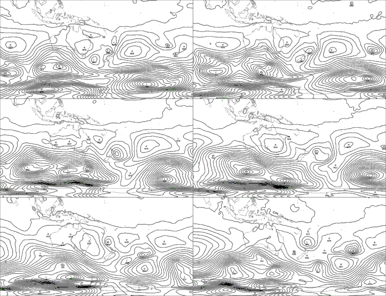
I've put together an animated sequence of weather maps for you to see for yourself. There's some jumpiness due to small scale effects, but I hope you can pick up the general trend.
 The maps are Mean Sea Level analyses (fronts omitted) from 14 to 20 August 2009.
There are exceptions; e.g., small depressions that wrap around bigger ones and therefore take a path like a loop around the larger Low. But the drift I've mentioned does generally occur.
The first and best explanation I have found of this effect comes from a brilliant Englishman called Reginald Sutcliffe. He lived in the middle of the 1900s and, as well as being an active researcher, applied his scientific nous during the second World War. You can find out more about him on the internet; e.g., on Wikipedia. He died in 1991, and I would have loved to have had the privilege of meeting him.
The slight drift comes about by first noting how a developing depression in the middle latitudes has colder air on its western side and warmer air to the east. You're probably already familiar with this notion, since it explains why we tend to have milder weather as depressions approach us (when we are on the eastern side of the L) and colder weather as they move away (when we are on the western side).
Sutcliffe showed that this typical temperature pattern steers the depression towards the southeast - the precise direction depends on just how much cold air there is relative to warm air (which can also be deduced). For an anticyclone, the converse applies and it is steered towards the northeast.
Of course Sutcliffe's research was originally based in the northern hemisphere, but the result is just as valid in the southern hemisphere which is how I've stated it here by applying a mirror image of the effect. With his explanation, Reginald Sutcliffe devised one of the first objective methods for weather forecasting.
Many of the depressions that affect NZ form near the New South Wales coast. This typical drift within the westerlies takes the developing systems on a direct path towards NZ!
As with the example in my post about maths and meteorology, the steering result can be demonstrated using equations. But the beauty and simplicity of it can also be observed on most sequences of weather maps.