WEATHER BALLOON LAUNCH PROJECT - MetService, Space Place & Curious Minds NZ
By Lisa Murray, Communications Meteorologist.
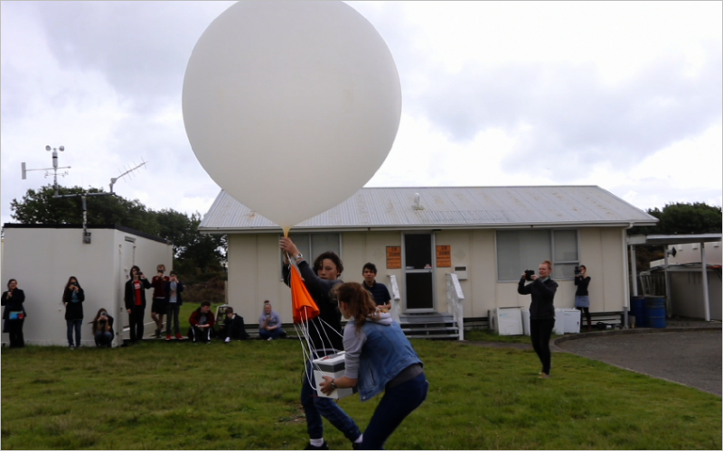
Niko and Lucy launch the weather balloon at Paraparaumu workshop Friday 28th Oct 2016.
WEATHER BALLOON LAUNCH PROJECT - MetService, Space Place & Curious Minds NZ
By Lisa Murray, Communications Meteorologist.
Niko and Lucy launch the weather balloon at Paraparaumu workshop Friday 28th Oct 2016.
The photos in this blog were taken by MetService staff in August 2011.
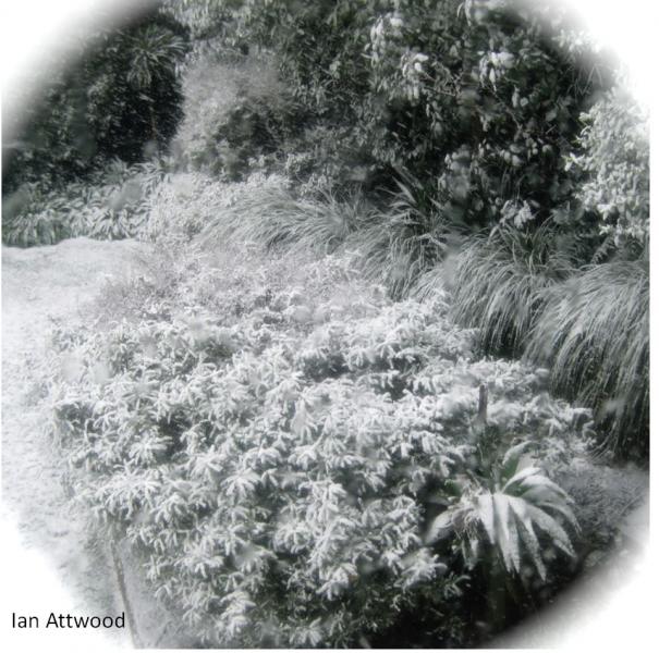
Photo taken by Ian in Karori, a western suburb of Welington.
We’ve just come out of a cold, snowy spell – the most significant of this winter so far. Ski fields nationwide are well topped-up, the Tararua range has been textured with snow after a pretty bare winter, and parts of the central North Island continue to suffer the effects of substantial snowfalls and drifts.
Weather radars are used all around the world to detect rain, hail and snow, as it happens. However, there are times when the radar network can pick up other things as well. While you generally won't see aeroplanes on our radar images (the radar beam is usually beneath the flight path of most flights, and also our radars are calibrated to primarily pick up smaller objects, whereas radars at airports are calibrated differently to primarily pick up aeroplane-sized objects), there is a myriad of other things that can cause interference on our radar images, which I will explain in this blog.

To mark Māori Language Week, this blog post brings together some practical weather words you can use every day, along with the story of Tāwhirimātea – god of the weather. Ko Tāwhirimātea te atua o te hau me ngā āwhā – Tāwhirimātea is the god of winds and storms.

Sitting out in the middle of the ocean, New Zealand is vulnerable to weather extremes from all directions, from the remains of tropical systems barreling in from the north, to cold winter southerlies bringing a blanket of snow.
Sometimes in MetService forecasts, you will see a forecast for “fresh northerlies”. But what exactly does the word ‘fresh’ mean? For many people, the word ‘fresh’ carries connotations of cool or clean air (eg the phrase ‘fresh air’). However, the word ‘fresh’ also has a more technical definition, that comes from the Beaufort Scale.
Mean Wind Speeds vs. Gust Speeds
By meteorologist Emma Blades
As a cold front swept up the North Island on Sunday 24 April 2016 it was like a blanket had lifted leaving blue skies behind. In the classic cold-front scenario, showers usually follow the main rain band. But because the flow was west to southwest behind the front, the South Island was sheltering the North Island from the showers, resulting in clear skies behing the front in this case.
Day-to-day weather features such as fronts and troughs, highs and lows constantly wash against New Zealand in the global atmospheric circulation. Sometimes the weather in New Zealand is highly changeable, changing from heavy rain to blue skies with an almost daily frequency. Other times the weather can seem to be stuck one way or another for days. In this blog we discuss the reason for this: Planetary waves, also known as Rossby waves. We will also look at the tools forecasters have to analyse them, and the implications for New Zealand.
March 23rd is World Meteorological Day, a day when National Weather Services around the world commemorate the establishment of the World Meteorological Organisation (WMO), which occurred on this day in 1950. WMO is a global agency which co-ordinates meteorological and hydrological activities. Having international collaboration is very important, as weather will not stop and wait at the border between two countries!
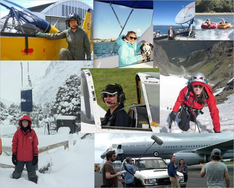
Celebrating the increased participation of women in meteorology
March 2016
International Women’s Day is held every year in March and to mark this occasion we want to give a big shout out to all the great women working here at MetService. Since 2001 we have trained 34 women and 30 men to be World Meteorology Organisation (WMO) qualified meteorologists. Twenty years ago the statistics were very different.